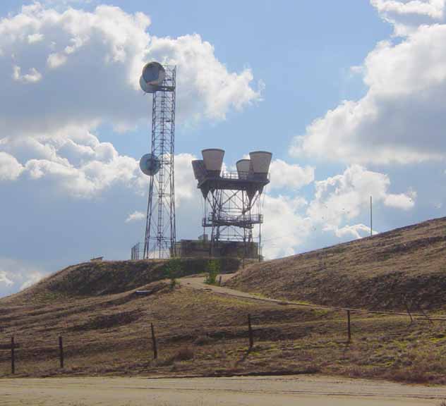
 Overall view of Richgrove site looking toward the south.
RICHGROVE
Type: Repeater
Callsign: KMU59
Location: Just north of Kern County line, off of Highway 65. About 15 miles east of Delano.
LAT/LONG: 35.47.23/-119.01.36
Paths: Mt. Adelaide and Rocky Hill.
Notes: This site is somewhat rural and located amongst hundreds of acres of Orange Groves. Typical KS-type repeater structure constructed in 1964 for the microwave route that transitioned along the western flank of the Sierra Nevada Mountains. Although originally constructed with two paths, one connecting Rocky Hill to the north and the other Mt. Adelaide to the south, one horn is seen pointed in a different direction (South horn). This was done post site closure, possibly for a wireless application.
Click on pic. for larger size
Overall view of Richgrove site looking toward the south.
 Looking toward the northeast. Note horn location as stated in notes.
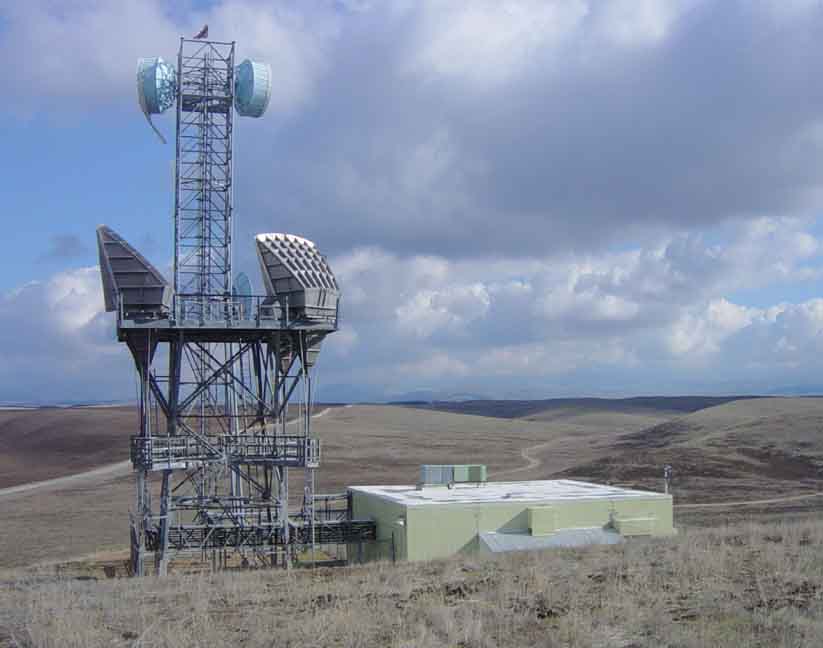 Site looking toward the east.
 Closer
view looking toward the southwest. Horns pointed toward Rocky Hill.
Closer
view looking toward the southwest. Horns pointed toward Rocky Hill.
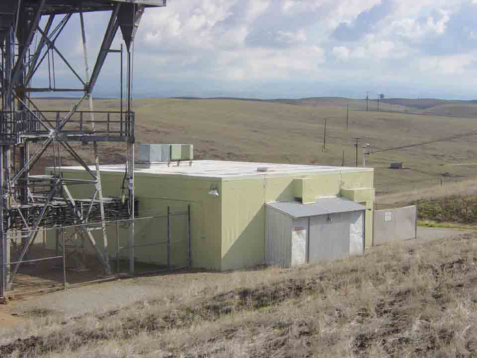 Site equipment building.
Back to Microwave Sites: Northern California Microwave Sites Page 2
Back to Main page: Telephone Central Offices